cat-grep
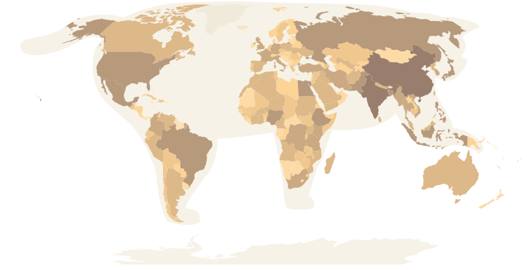
The name combines my love of cats with two Unix/Linux commands: cat and grep. It started from a map meme, the world is a cat playing with Australia, and became a way to represent how I approach Geospatial projects: curious, spatial, technical and data-driven.
For the full story behind cat-grep, visit my StoryMap.
This research project evaluates how well large language models perform geospatial reasoning tasks, including geometry classification, topological relation prediction and direction estimation. Using 4,100 GeoJSON-encoded geometry pairs, we benchmarked multiple state-of-the-art LLMs and analyzed their strengths and limitations for GeoAI and spatial intelligence applications.
City of Round Rock GIS Internship
August 20, 2025
November 3, 2025
Benchmarking Geospatial Reasoning in Large Language Models
During my year-long GISPP Fellowship at the State Cartographer’s Office, I contributed to five GIS and cartography projects spanning custom map design, interactive gazetteers, web mapping applications, survey control tools and aerial imagery download automation. The fellowship expanded both my technical and professional horizons: I gained a deeper understanding of Wisconsin’s geography, history, public institutions and mapping community, while building meaningful connections across SCO and its partners.
May 31, 2025
GISPP Fellowship at the State Cartographer’s Office
During my 13-week summer internship with the City of Round Rock Geospatial Team, I contributed to 10 GIS projects supporting municipal operations, public safety, asset management, environmental planning and community mapping. My work included field data collection, LiDAR and aerial imagery review, GIS application development, workflow modernization, data documentation and ArcGIS Online cleanup. The experience strengthened my ability to translate cross-departmental needs into practical GIS solutions for local government.